

Satellite maps are helpful, but they only scratch the surface. Literally. If you want to know what’s really going on below your land, ask a well driller. These pros rely on more than just tech, they rely on years of experience working with the land itself. They’ve learned how to read the signs no satellite can pick up: soil conditions, underground layers, water movement, and more.
A well driller often knows if your land is likely to flood, if water will be shallow or deep, and even what problems might pop up during drilling. It’s not guesswork—it’s boots-on-the-ground knowledge.
How does a well driller assess underground water potential without satellite tools?
Well drillers don’t need satellites to find water—they rely on local knowledge, geological experience, and hands-on observation to evaluate underground water potential. Here’s how they do it:
- Geological and Hydrological Maps: Instead of satellite images, drillers often use detailed subsurface maps and soil surveys from local and state geological agencies to understand the area’s rock formations, water tables, and aquifer zones.
- Drilling Records from Nearby Properties: Drillers use historic well logs and data from nearby wells to determine the depth, flow rate, and quality of water in the region—information that satellites cannot provide.
- On-Site Soil and Terrain Evaluation:By observing the land’s surface—like vegetation health, natural drainage, and soil texture—a driller can infer where groundwater might be more accessible or sustainable.
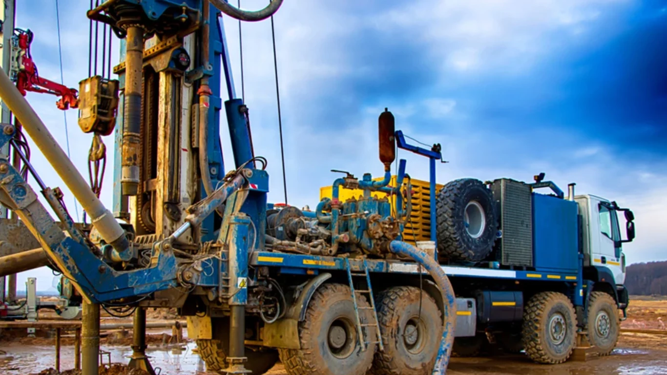
- Test Holes and Exploratory Drilling: For deeper insight, they may perform preliminary drilling to confirm aquifer presence, depth, and recharge rate physically.
- Water Table Probing: Tools like water level indicators and probe rods allow drillers to measure groundwater depth directly—offering real-time accuracy.
- Local Intuition and Experience: Perhaps most valuable of all, seasoned drillers develop a “feel” for the land—spotting patterns and risks based on years of experience in similar terrain.
Without high-tech imaging, well drillers combine science, skill, and instinct to locate the safest, most productive spot for your well—proving that boots on the ground still matter underground.
What clues in the soil can a well driller detect during a site visit?
A well driller doesn’t need fancy tech to understand what’s beneath your feet—the soil itself tells a story. During a site visit, experienced drillers look for physical signs in the soil that reveal critical information about underground water potential and drilling feasibility.
Here are key clues they pay attention to:
- Soil Texture and Composition: Sandy or gravelly soil typically allows better water flow and may indicate a shallower, more accessible aquifer. Clay-heavy or compacted soil, on the other hand, suggests poor drainage and deeper water tables.
- Moisture Retention: Damp or spongy soil near the surface can suggest a high water table or strong subsurface moisture—often a good sign for well yield.
- Soil Layering: By manually digging or probing, drillers can identify the sequence of soil layers. The presence of loam, silt, or rock strata can inform decisions about well depth and drilling methods.
- Color Changes in Soil: Rust-colored or gray soil layers may indicate iron presence or previous water saturation zones, which can point toward active groundwater movement.
- Vegetation and Ground Cover: Lush plant growth or water-loving plants like willows or cattails suggest a moist subsurface, whereas sparse or stunted vegetation may indicate dryness or poor soil quality.
- Surface Drainage Patterns: Observations of puddling, erosion, or natural flow routes provide insight on the ways in which water interacts with the terrain and the potential locations where it is entering the ground.
These soil-based insights help well drillers choose the best spot for drilling, estimate depth to water, and avoid costly surprises—making a simple site visit one of the most valuable tools in the process.
Why do well drillers rely on hands-on land evaluation instead of maps?
While maps, satellite images, and digital tools offer useful overviews, well drillers rely on hands-on land evaluation because no two properties behave exactly the same underground.
The real conditions that affect well success—like soil quality, drainage, and groundwater movement—can only be accurately understood by physically assessing the land.
Here’s why boots-on-the-ground evaluation matters:
- Real-Time Soil and Surface Clues: A driller can touch, dig, and observe the soil to assess its texture, moisture, and layering—details that maps don’t reveal.
- On-Site Terrain Awareness: Subtle slopes, erosion patterns, and vegetation density provide key insights into how water flows and where it collects, helping to determine ideal drilling spots.
- Unseen Risks and Obstacles: Physical visits reveal buried debris, construction remnants, or nearby septic systems—risks that could compromise well safety or water quality.
- Local Variability: Geological maps are generalizations. Only on-site evaluation can detect inconsistencies like rock hardness changes or shallow bedrock not noted in broader data.
- Customized System Placement: A driller considers home layout, property use, and environmental features to plan a well that fits the land—and the homeowner’s needs.
Well drillers trust the land more than the map—because what’s beneath the surface can’t always be predicted from above. Hands-on evaluation ensures smarter drilling, safer water, and better long-term performance.
Can a well driller identify water issues that remote sensors cannot?
Yes—absolutely. While remote sensors and satellite tools offer valuable data, they lack the sensory experience, local intuition, and practical context that a skilled well driller brings to the job. Many water issues are subtle, complex, and site-specific—making them hard to detect from a distance.
Here’s what a well driller can identify that remote sensors often miss:
- Signs of Surface Contamination: A driller can spot nearby sources of pollution—like septic systems, livestock runoff, or old fuel tanks—that may threaten groundwater, even if maps show the area as “safe.”
- Soil and Sediment Clues: The feel, smell, and color of soil can reveal iron content, organic decay, or prior water contamination—details that sensors can’t pick up in real time.
- Well Construction Flaws: During inspection, a driller may notice improper seals, corroded casings, or outdated components that contribute to water quality issues—issues satellites or remote sensors can’t detect.
- Localized Water Behavior: A driller can observe how water drains after a storm, identify zones of natural recharge, or detect seasonal shifts in groundwater—all through hands-on evaluation.
- Performance Problems: From inconsistent flow to pump strain, a driller can assess system health based on subtle sounds, vibrations, or visual cues—not just data points.
Technology is helpful—but it can’t replace experience. When it comes to understanding water behavior on your land, a well driller sees what the sensors can’t.
Trust What You Can’t See—Ask Your Well Driller First
Google Earth might show you what’s on the surface, but only a skilled well driller can uncover what’s happening below.
At Well Doctor LLC, we bring years of hands-on experience and local geological knowledge to every site we visit. We know how to read your land in ways no satellite can—identifying water sources, soil conditions, and hidden risks that impact your well’s performance.
Whether you’re drilling a new well or troubleshooting an old one, we’ll guide you with insight you can trust. Call Well Doctor LLC today and let’s uncover the water potential beneath your land—together.